Stormview for property claims

Every storm. Every claim.
One app.

Live storm intelligence and forensic-level reports in minutes. On the web and in your pocket.
Live map, storm alerts & hail outlines: included with every plan · from $99/month
stormview.io/map
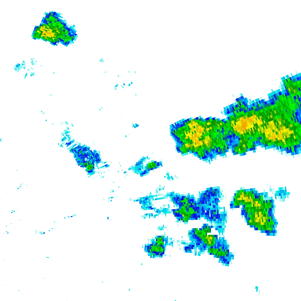
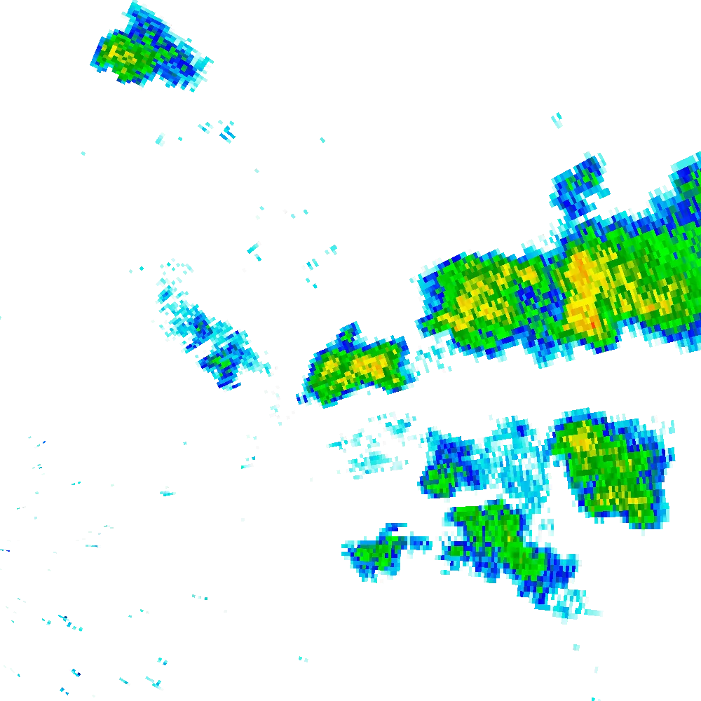
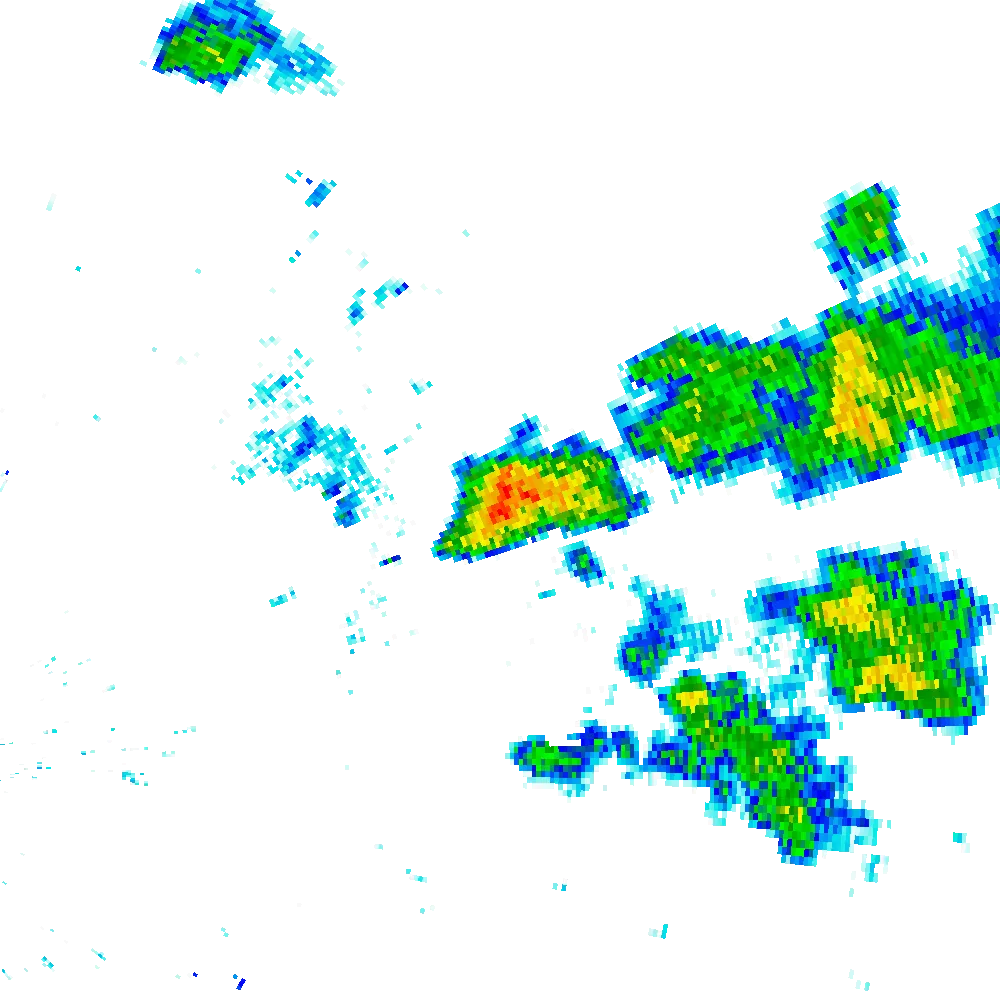
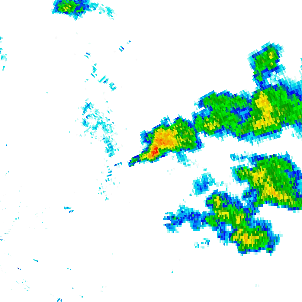
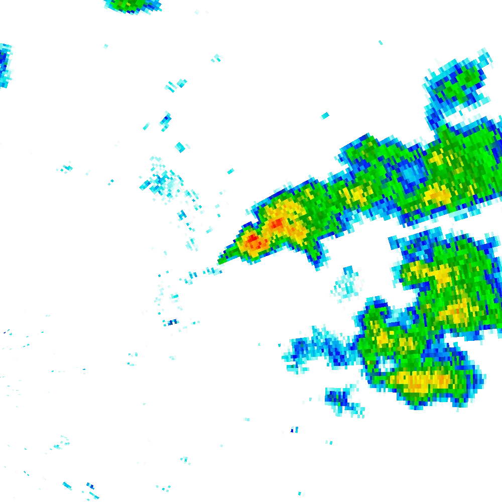
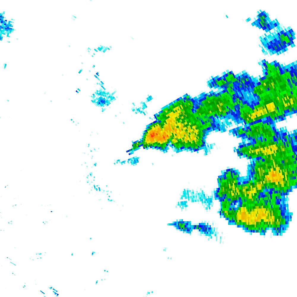
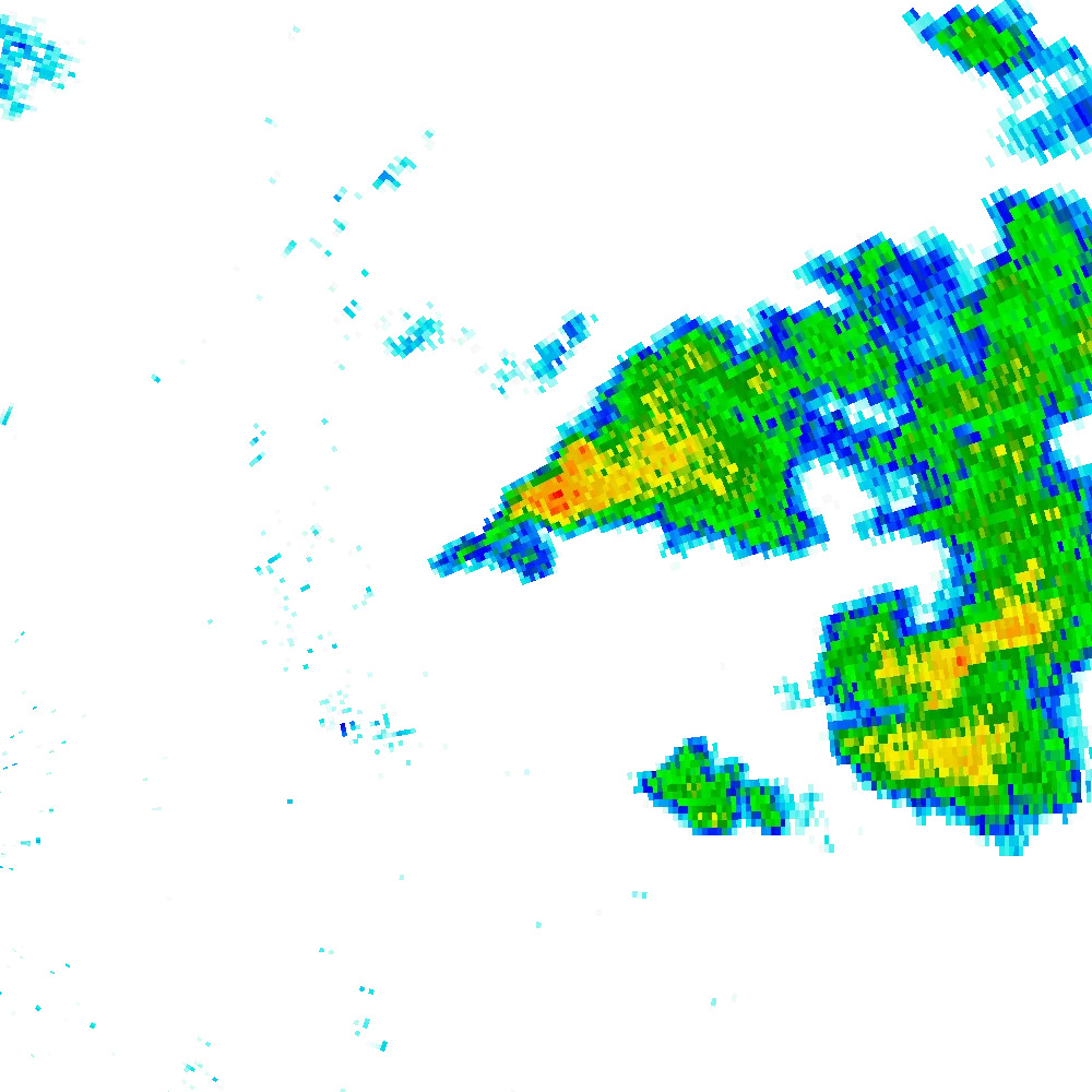
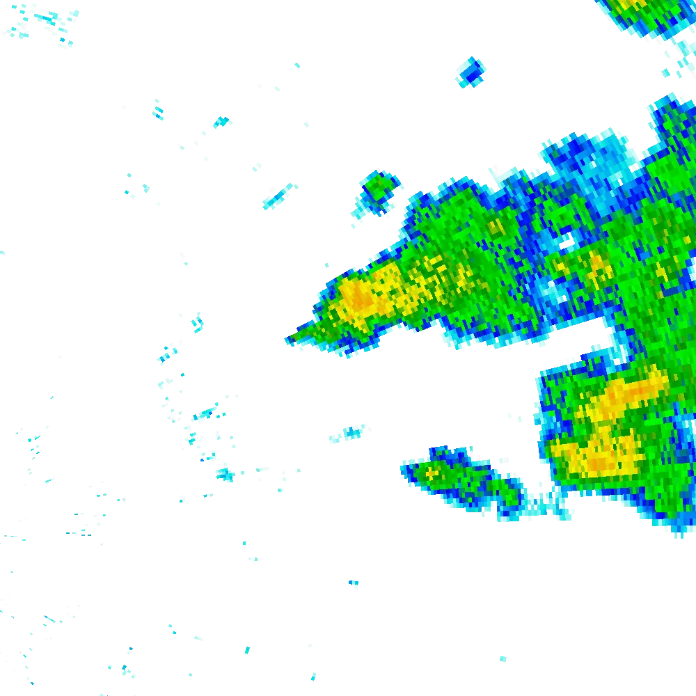
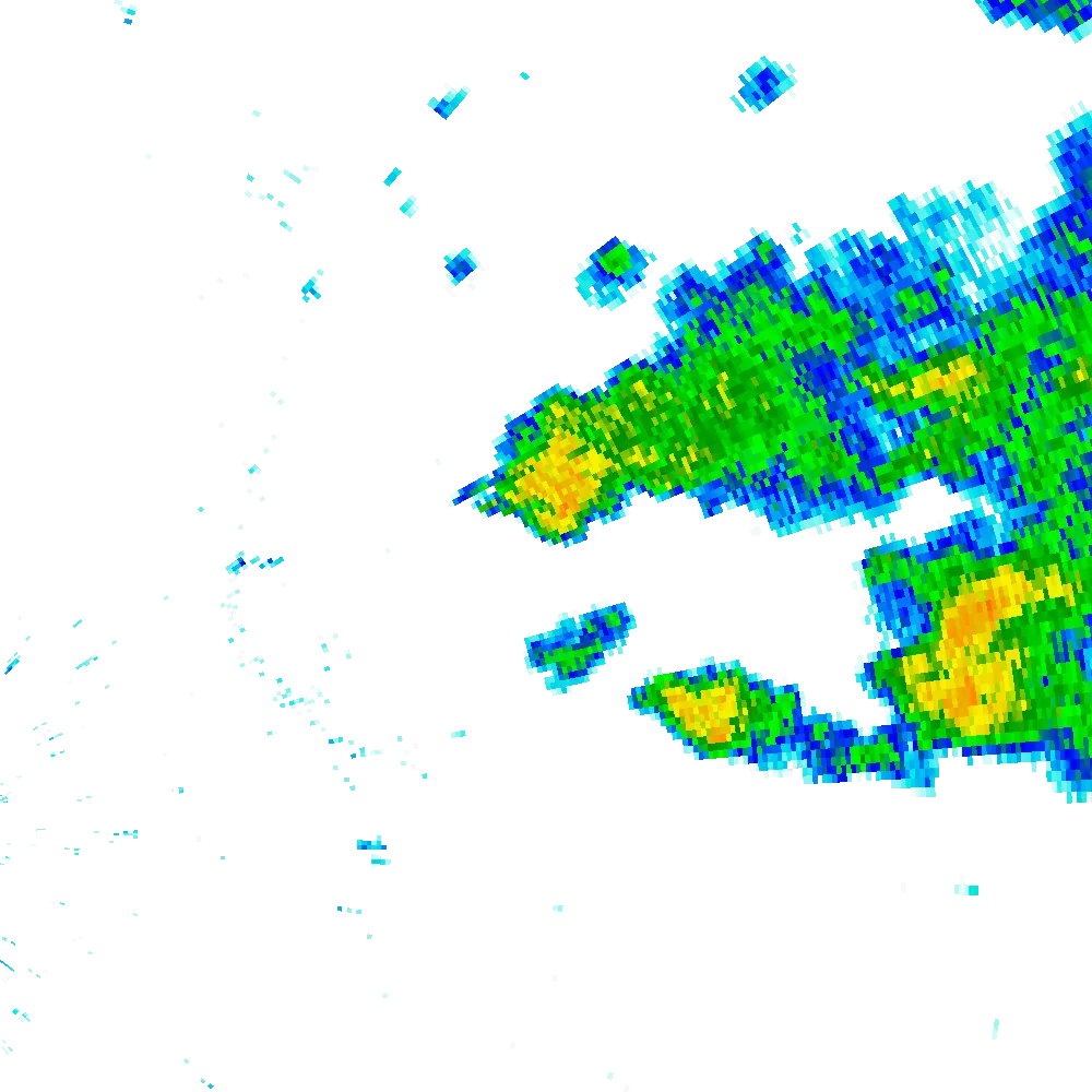
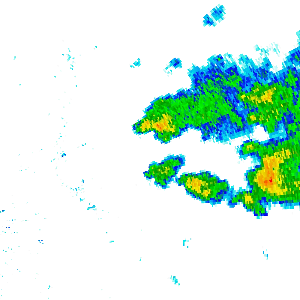
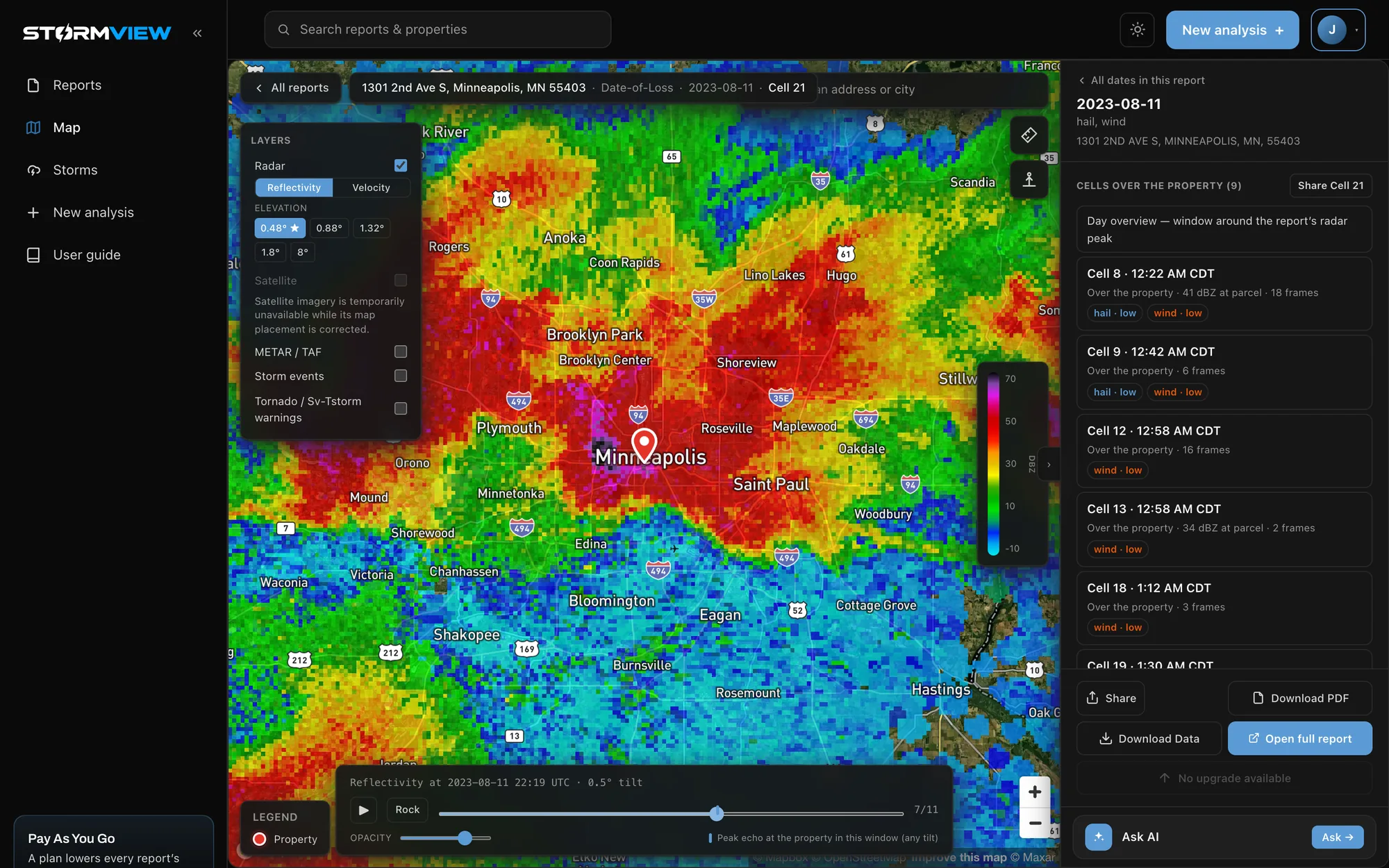
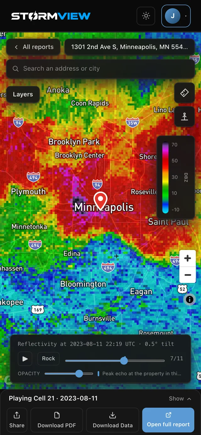
Storm replay on the web: NEXRAD radar over downtown Minneapolis during the 08-11-2023 hailstorm, with the report beside it
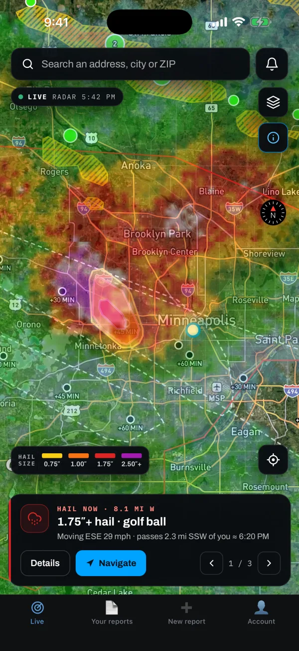
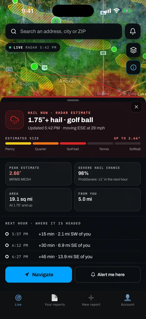
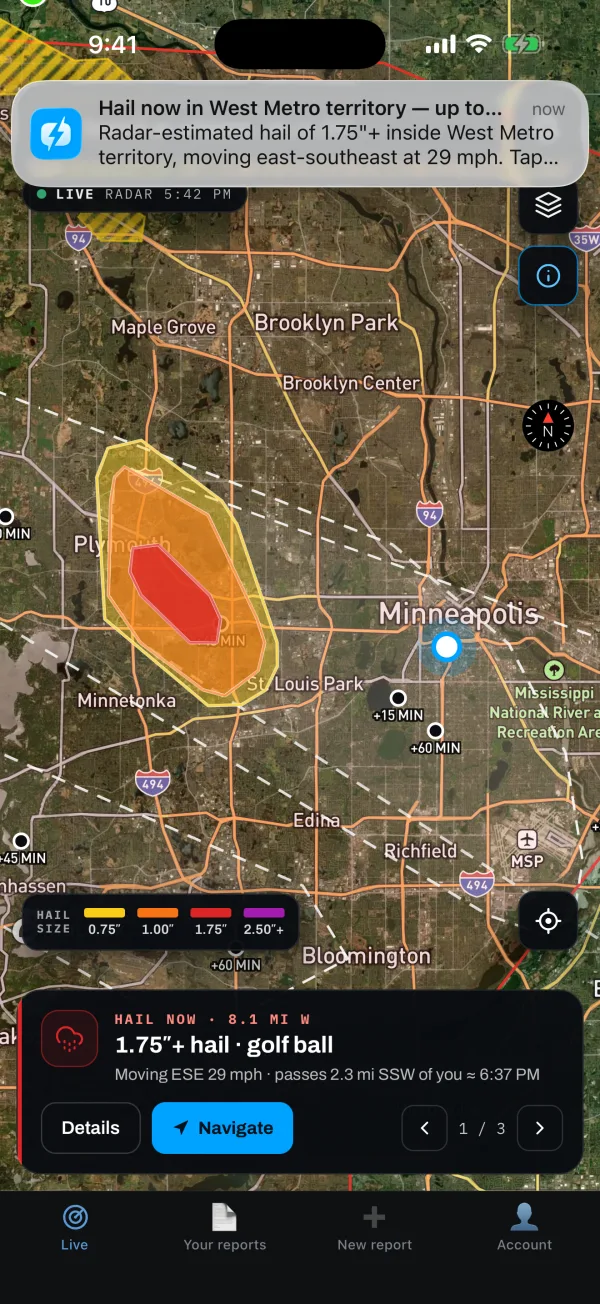
The Live map on iPhone: radar, NWS warnings, storm reports and a hail outline west of Minneapolis
Minutesfor a full analysis, not days of waiting
Raw radareach NEXRAD scan over the property, not a regional summary
One methodthe same for every side of the claim
Source filesthe data behind every number, yours to download
Live map

Watch it hit.

Radar, warnings and hail outlines, live, wherever you're working, in the app for iPhone and Android.
Included with every plan · from $99/month
A hail outline's details: 1.75-inch-plus hail, a 2.66-inch peak estimate, 98% severe hail chance and where it is headed over the next hour
Hail outlines by size
The Live map: radar, NWS warnings, storm reports and a hail outline, centered on you
Radar, warnings, reports
A storm-alert push over the Live map: hail now in West Metro territory, moving east-southeast at 29 mph
Alerts the moment it hits

Hail outlines are radar estimates to plan your day, not a report.

Storm alerts

Know first.

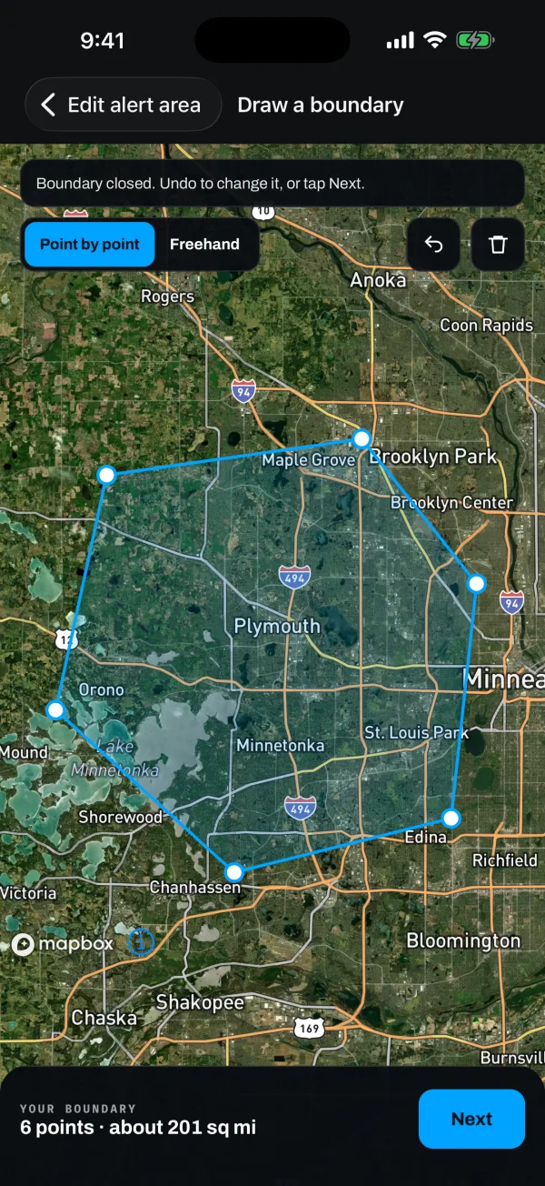
Draw your territory. Get a push or an email the moment hail or a warning reaches it.

Draw an areaSet a radiusFollow me
Included with every plan · from $99/month
Push notification: Hail now in West Metro territory — radar-estimated hail of 1.75 inches and up, moving east-southeast at 29 mph
Drawing a storm-alert boundary around the west Twin Cities suburbs: 6 points, about 201 square miles
Storm replay

Replay any storm over any roof.

Radar scan by scan over the property, with the report beside it.
stormview.io/map
Storm replay on the web: the hailstorm's radar over the property, the cell's track, and the Date-of-Loss findings in the drawer
Storm replay on a phone: the radar over the property with the report in a bottom sheet
Reports

Forensic-level detail. In minutes.

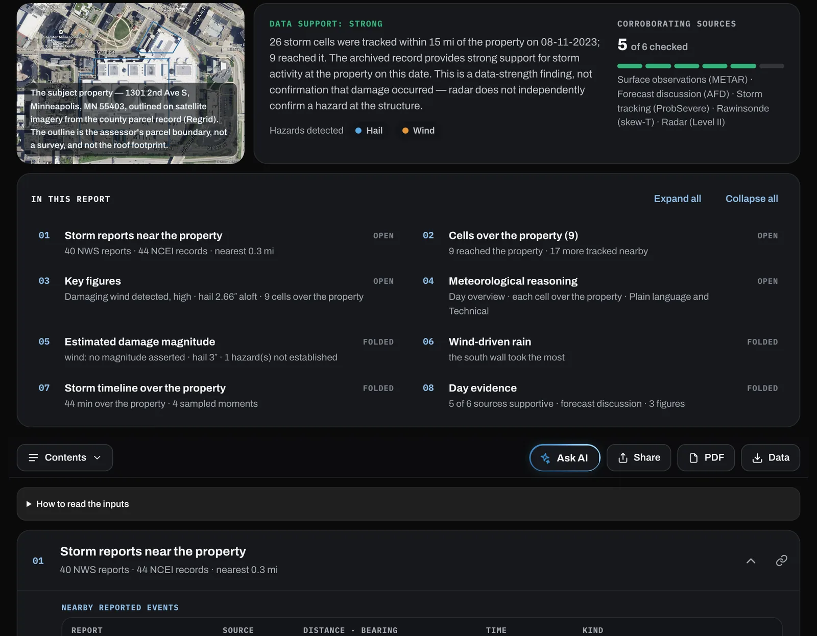
Every hazard scored. Every number sourced. Every step shown.
stormview.io/jobs/…/forensic
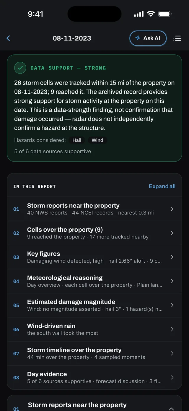
A Date-of-Loss Analysis on the web: data support, the wind, hail, tornado and cell cards, and the contents bar
The same Date-of-Loss Analysis in the iPhone app, with Share, View PDF and Download Data
Storm Snapshot$35 · seconds

Every storm on record near the property, each linked to its source.

Sample PDF ↓
Detailed Analysis$249 · minutes

Up to five storms worked hazard by hazard from the raw archive.

Sample PDF ↓
Date-of-Loss Analysis$249 · minutes

One claimed date rebuilt from raw radar, even when nothing is on the record.

How a date of loss is worked →
No side. Just the record.

Decide causation on evidence.

The analysis never knows who ordered it. Every finding shows its work, down to the raw data.
The setup→The environment→The storm at the parcel
CELL 19Over the property
HAIL · 4:10 PM ESTMESH 1.34″ aloft
NWS / NCEINo storm report on record
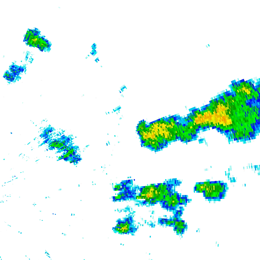
Real KFFC radar volumes from a Stormview Date-of-Loss report. Client details withheld.
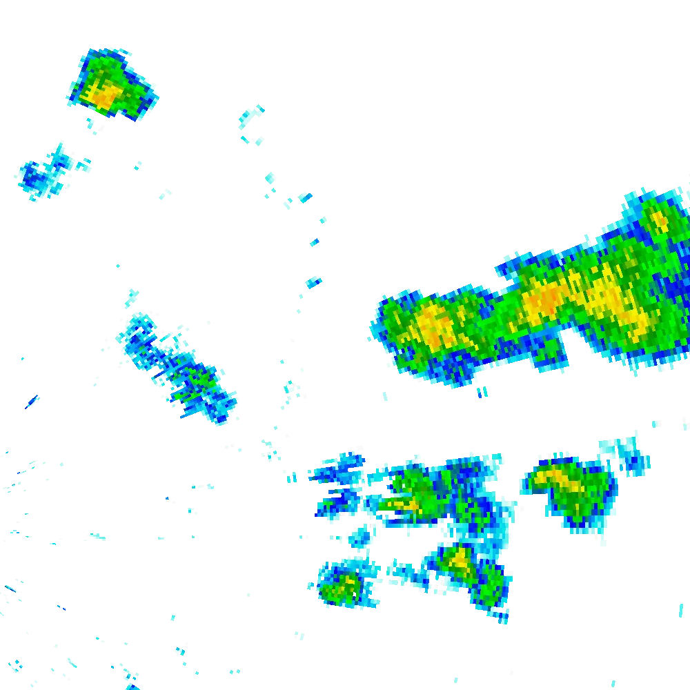
The radar over the roofReal Level II, scan by scan, the cell outlined.
1000850700500400300200100-40°-20°0°20°40°
Temp Dewpoint· KFFC 2026-03-06 12:00Z
The atmosphere that dayThe sounding behind every wind and hail call.
▾source-data.zip
├─README.txt# how to open every file
├─manifest.json# every fetch, failures included
├─Stormview-Methodology.pdf# the governing method, versioned
├─findings.json# structured provenance
├─radar/# NEXRAD Level II volumes (_V06)
├─sounding/# archive record · profile · indices
├─aviation/# METAR + TAF, coded and decoded
├─afd/# NWS forecast discussions
├─lsr/# Local Storm Reports
└─storm_events/# NCEI Storm Events records
The raw data, yoursEvery radar volume, sounding and record, with a manifest.
Pre-registered, blind validationRead the study →
The same inputs, the same answerReruns reproduce every report
Meteorologist sign-offA credentialed meteorologist reviews and signs, on request
Tested in the openA written, versioned method, checked against measurements.
NEXRAD Level II radarNWS storm reportsNCEI Storm EventsSurface stations (ASOS/AWOS)Upper-air soundingsGOES satelliteNWS forecast discussionsTerminal forecasts (TAF)

Findings are framed as consistent with the archived record, never as causation.

Try it on any address. Free.

No account. Results in seconds.

The app is free to download, and reports can be ordered one at a time. The Live map, storm alerts and hail outlines come with every plan, from $99/month.